307-429-0672
Our Services
Professional aerial imagery and data solutions built for Wyoming's landscapes, weather, and industries. FAA Part 107 certified, insured, and focused on clean, usable deliverables, not just pretty shots.
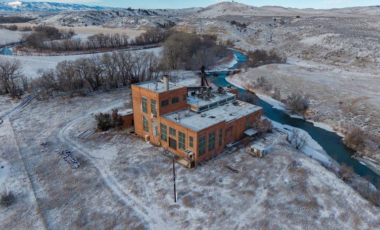
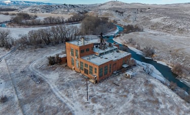
Aerial Photography
High resolution still imagery designed for marketing, documentation, and analysis.
Ideal for: Real Estate, ranches, land listings, tourism, construction progress, marketing content
Carefully planned flight paths for strong composition
Edited High Resolution Images (web & print ready)
Fast Turnaround
What you get:
Aerial Videography
Smooth, cinematic footage that shows scale, access, and context from angles impossible on the ground.
Ideal for: Property marketing, promotional videos, social media, project showcases.
Stabilized 4K footage
Thoughtful movement and framing (not random flying)
Color-corrected, ready to use clips
What you get:

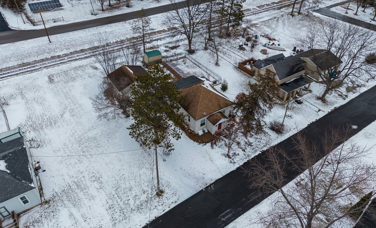
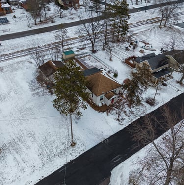
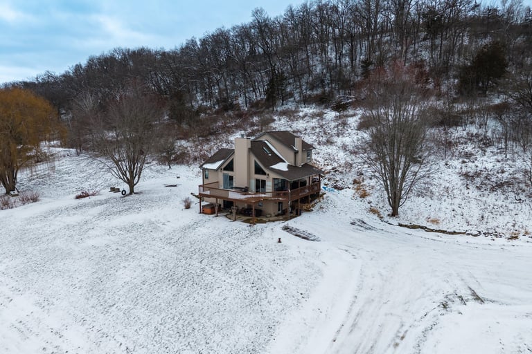
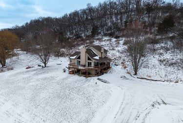
Real Estate & Property Marketing
Help listings stand out with aerial perspectives that show boundaries, access, and surroundings.
Perfect for residential, commercial, ranch, and vacant land listings.
Exterior aerial photos
Orbit and reveal video clips
Emphasis on location, biews, and proximity
Includes:
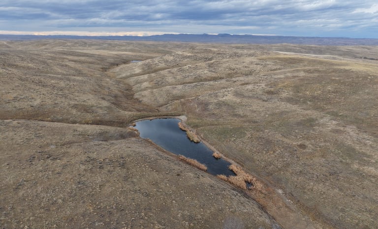
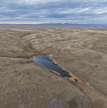
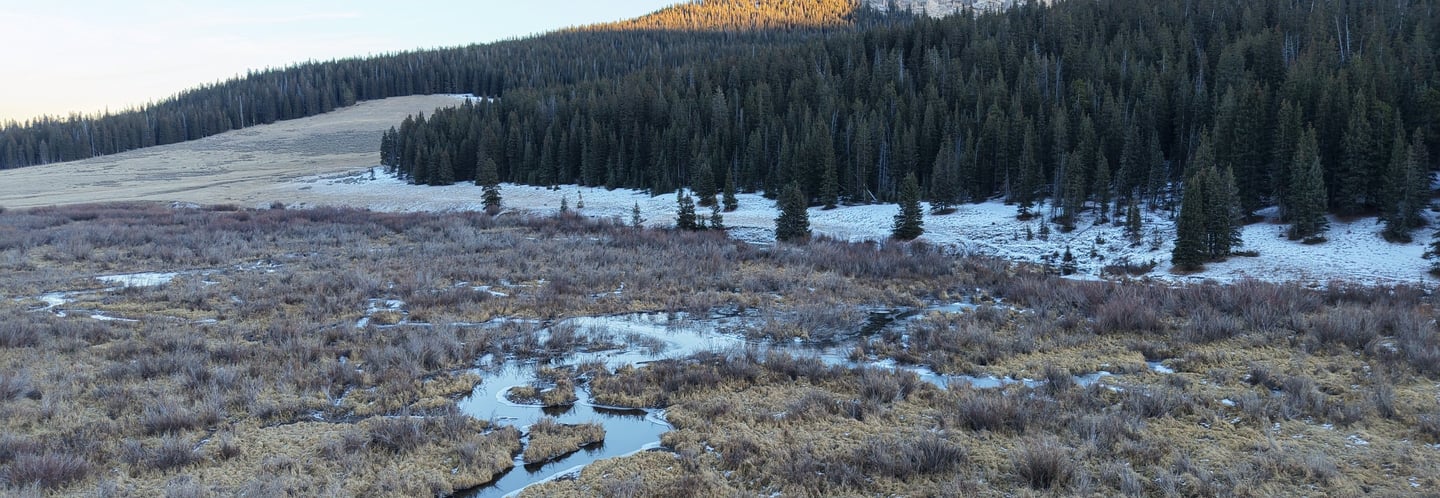
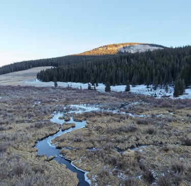
Land, Ranch, & Agricultural Imaging
Wide-area coverage that highlights acreage, terrain, fencing, water features, access points.
Useful for:
Ranch listings
Land management
Marketing and documentation
Custom Drone Services
Have a project that doesn't fit neatly into a category? Lets talk.
One off aerial shoots
Remote or hard to access locations
Portfolio or creative projects
Examples:
What Sets AerieView Apart?
- FAA Part 107 Certified & Insured
- Safety first flight planning
- Clear communication and honest pricing
- Deliverables tailored to your actual use
Ready to get Started?
Tell us about your project location ,and we'll provide a clear, no pressure quote.