307-429-0672
Portfolio
Real Projects with real results.
What you'll see here
This portfolio showcases a selection of aerial project completed by AerieView Drone Solutions across Wyoming and the surrounding region. Each project highlights our focus on clarity, composition, and purpose. Whether your goal is marketing, documentation, or inspection. We don't just fly to fly. Every image and video is captured with a specific outcome in mind.
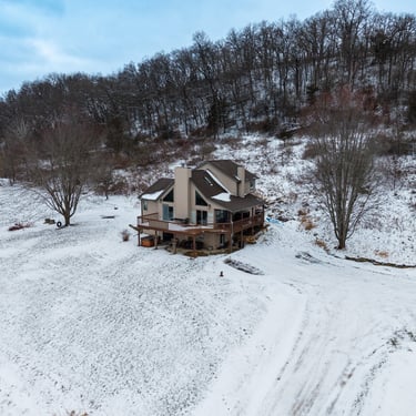
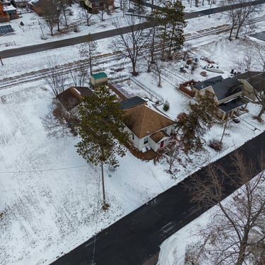
Real Estate & Property Marketing
Purpose: Help your listing stand out and sell faster
Deliverables:
High-resolution aerial photos
Cinematic video clips
Vertical content for social media
MLS-ready formatting
Clean lines, accurate scale, and visuals that show more than ground-level photos ever could.
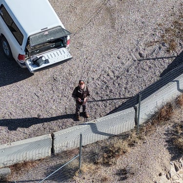
Commercial, Construction, & Industrial
Purpose: Improve visibility, safety, and decision-making
Use Cases Include:
Construction progress documentation
Roof & structure inspections
Site overviews and planning visuals
Ongoing monthly or weekly documentation
Actionable visuals captured safely, efficiently, and professionally.
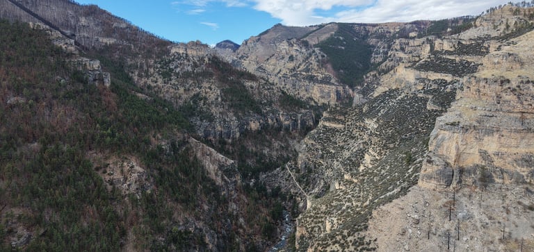
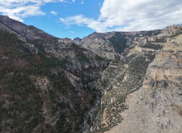
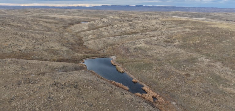
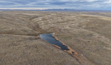
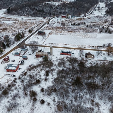
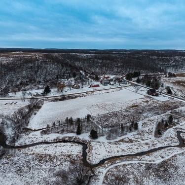
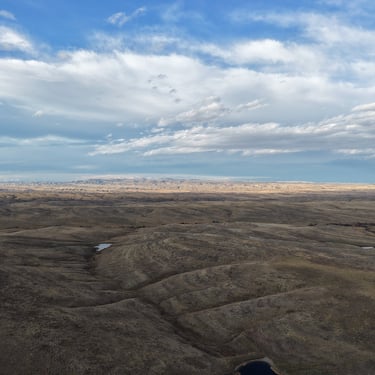
Agriculture, Ranch & Land Projects
Purpose: Understand and manage land more efficiently
Deliverables:
Full property overviews
Boundary visuals
Land use documentation
Seasonal Updates
Built for large acreage, tough terrain, and wide-open spaces
Branding, Events & Custom Projects
Purpose: Tell your story from a higher perspective
Perfect for:
Local businesses
Tourism & outdoor brands
Events & special projects
Social media campaigns
If it benefits from elevation, we'll make it happen.
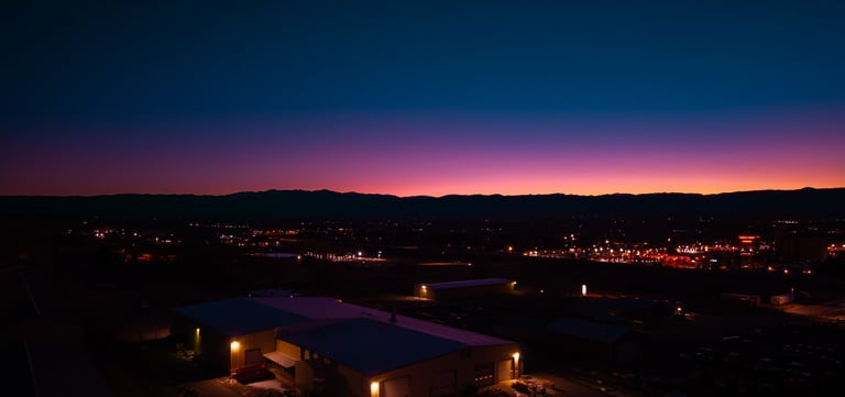
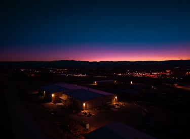
Additional Work & Flight Highlights
Additional projects, alternate angles, and creative flights
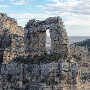
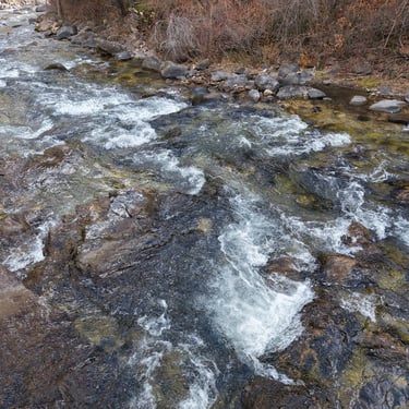
This section features a larger collection of aerial images and clips from a variety of projects - real estate, land, construction, branding, and custom flights. While the sections above highlight select, featured projects, this gallery shows the range and consistency of work we produce.